


I am in love with this busy map from a special tourism section in the August 13, 1949 edition of the Charlottetown Guardian. It reminds me of picture books I had as a child, lots of busy vignettes, new details emerging with every viewing. And Vikings speeding towards PEI!

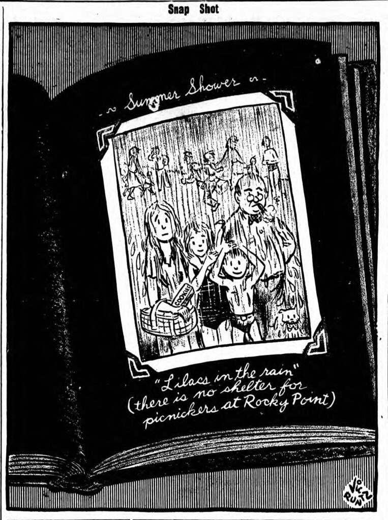
I can’t read the signature at the lower right, but it could be the work of the Guardian’s cartoonist at that time, Vic Runtz, who did sign some of the lovely drawings included in the rest of the special section. Catherine Hennessey wrote a beautiful tribute to him upon his death in 2001. He was a very fine editorial cartoonist and I hope his work has been or will be exhibited on PEI.

With nothing else to do while waiting in my car yesterday, I hauled out a PEI road map and looked it over. At the west end of Summerside I saw something new to me: Shooting Gallery Shore.

I would have bet my tam-o’-shanter that area is called Green’s Shore, and there is a park with that name at the foot of Greenwood Drive. And when I think of a shooting gallery, I think of those games at amusement parks where you try to hit targets and win prizes. As far as I know, that area of Summerside was never used for that type of entertainment.
When I got home and was poking around the Island Newspapers offering for August 3, 1921, this little notice caught my attention:

A rifle range west of Summerside – bullseye!